



ARENAL VOLCANO HIKE · LA FORTUNA · COSTA RICA
Arenal Volcano Hike
The Arenal Volcano Hike is a private guided walk of about two hours, some two and a half kilometres, across the 1968 lava flow in a private reserve on the western side of the cone near La Fortuna, Costa Rica, ending at a viewpoint of the volcano. The pace is set by whoever is slowest, with birds and regrowing forest along the way. Ask us to add it to your La Fortuna overnight.
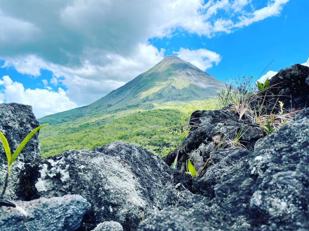
On the morning of 29 July 1968, a mountain that nobody thought was a volcano opened three craters on its western flank. You walk on what it left behind. This is a guided walk of about two hours across the 1968 lava flow itself, in the private reserve that protects it, on the same side of the cone that blew — close enough to read the rock, far enough to see the whole mountain at once.
The morning of 29 July 1968
The warnings were all there. Seismic swarms had been building since 1963. Colourless gas seeped from the northeastern flank and killed the vegetation around it. The Cedeño lagoon dropped until it dried out completely and the fish died with it. In 1967 the hot springs on the Tabacón river got hotter. Two weeks before the eruption, ranchers watched their cattle come down off the upper slopes on their own.
Nobody read any of it, because nobody was reading a volcano. Locals called it Cerro Arenal — the Arenal hill.
At about 7:30 on the morning of 29 July 1968, after centuries of silence, a lateral blast tore three new craters into the western flank. Blocks weighing several tonnes were thrown more than a kilometre at roughly the speed of a bullet. Ash columns rose to ten kilometres. Around fifteen square kilometres were flattened, and the villages of Tabacón and Pueblo Nuevo went with them. Roughly eighty people died, though the exact count is still argued over.
Two days later came the part almost nobody tells. On 31 July a second directed blast killed eight more people — volunteers from La Fortuna who had driven into the Tabacón valley to help.
The volcano stayed active for the next forty-two years. In 1977 the authorities went as far as ordering the evacuation of residents living within four kilometres of the crater. The eruptions finally stopped in December 2010, and Arenal has been quiet ever since — the longest calm since 1968. That silence is the only reason this walk exists.
Is Arenal Volcano safe to visit?
Short answer: yes, and here is the long one, because you deserve the actual reasoning rather than a reassuring adjective.
Arenal has been dormant since the end of 2010. It is still classified as geologically active, but that is a scientific category describing the system, not a warning about your Tuesday. And unlike 1968, it is watched without pause. OVSICORI — the Volcanological and Seismological Observatory of Costa Rica, at the National University — and the National Seismological Network maintain a permanent network on the mountain: seismic stations, GPS instruments that read ground deformation, gas measurement, fixed cameras and satellite imagery, all analysed continuously.
What that network shows right now is a system settling down rather than waking up. Seismicity is low, and what little is recorded is tectonic rather than volcanic. There is no tremor. The cone is contracting, not swelling — satellite data show the crater subsiding by up to six centimetres a year as the material inside cools and compacts. The summit fumaroles are essentially water vapour: a drone measurement of sulphur dioxide at the crater came in below Costa Rica’s permitted one-hour human exposure limit for air quality. Arenal does not even appear in the observatory’s daily volcano bulletins unless something unusual happens.
And the point that matters most if you are standing on the flank: the observatory has been explicit that a reactivation of Arenal would be a slow process, not an overnight one. In 1968 the warning signs were there and nobody was equipped to read them. Today there is an instrument on every one of those signals, and the people reading them publish what they find.
What we will not tell you is that the mountain is risk-free. The real hazard on this flank today is not an eruption — it is rockfall, loose material coming off slopes that are still cooling and eroding. That is exactly why this walk is done with a guide, on the reserve’s marked trail, at a sensible pace, and why we do not recommend wandering off it.
How hard is the Arenal Volcano hike?
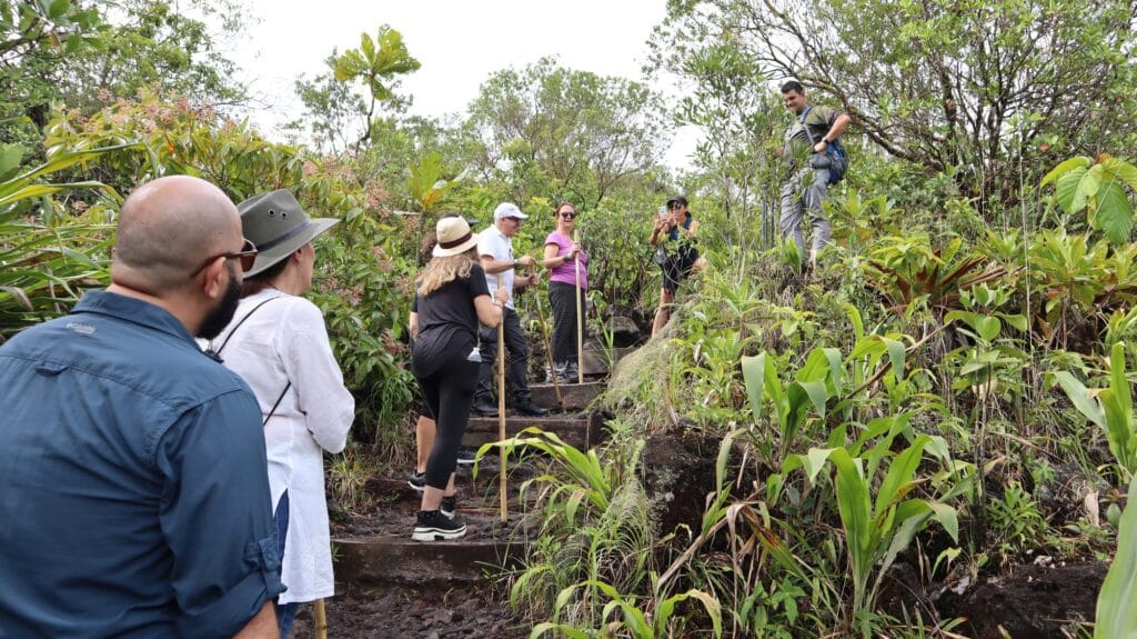
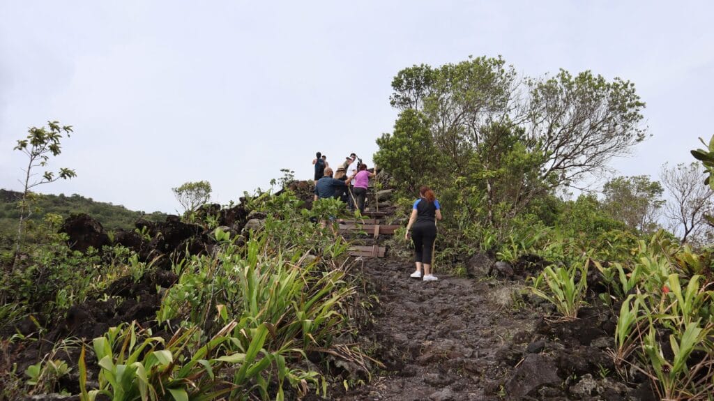
An hour and a half to two hours, at the pace of whoever is slowest. The surface is old lava: uneven, loose in places, with built steps on the steeper pitches and a steady climb toward the viewpoint. It is not technical and it is not a summit attempt — nobody climbs Arenal, and no legal operator will offer to.
There is no minimum age. The only requirement is being able to walk it. We have taken children and we have taken people in their eighties; what matters is sure footing on rock, not the number on a passport.
Bring walking shoes with grip, insect repellent, sunscreen, water and a rain poncho. This is the Caribbean slope. It rains here in every month of the year, and a poncho is worth more than an umbrella.
Go as early as you can
We do not run a fixed departure time, and we recommend the earliest one you will accept. Two reasons, both of them real. Birds feed at first light and go quiet as the morning warms. And the cone builds its own cloud: on most days it is clear at dawn and hidden by mid-morning. Nobody can promise you a clear summit — anyone who does is selling weather they do not control. Leaving early is simply the best odds you can buy.
If you want the longer version
The reserve has two routes. The one we normally walk crosses the lava flow itself — about two and a half kilometres, an hour and a half to two hours, ending at the viewpoint. The second adds a loop through regenerating forest and runs closer to four and a half kilometres with more climbing and rougher ground underfoot. If you want the long one, tell us when you book.
How a lava field turns back into forest
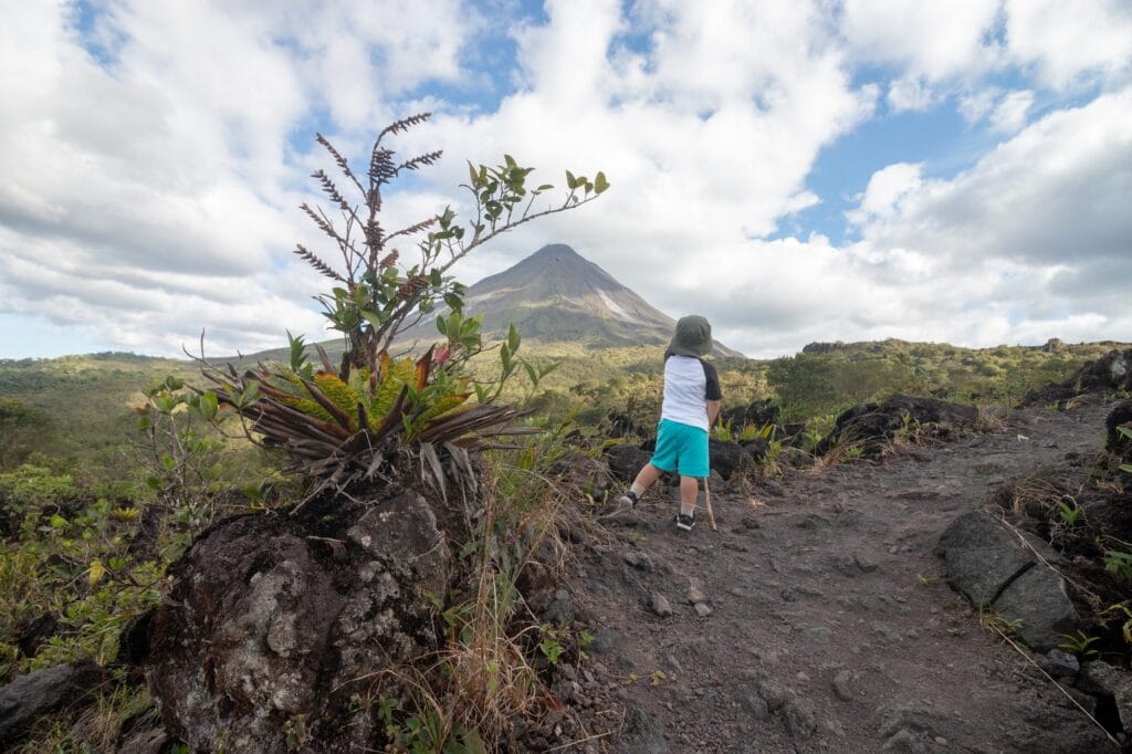
Fifty-odd years is nothing in geological time and a great deal in biological time, and the lava field is where you watch the difference.
It starts in the cracks, where rain and dust and dead leaves collect into the first thin soil. Orchids of the genus Epidendrum take hold directly on bare rock. Bromeliads settle into the fissures and start holding their own small reservoirs of water. Ferns follow, then the fast pioneer trees — cecropia above all — and behind them the forest that is slowly closing over the flow.
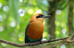
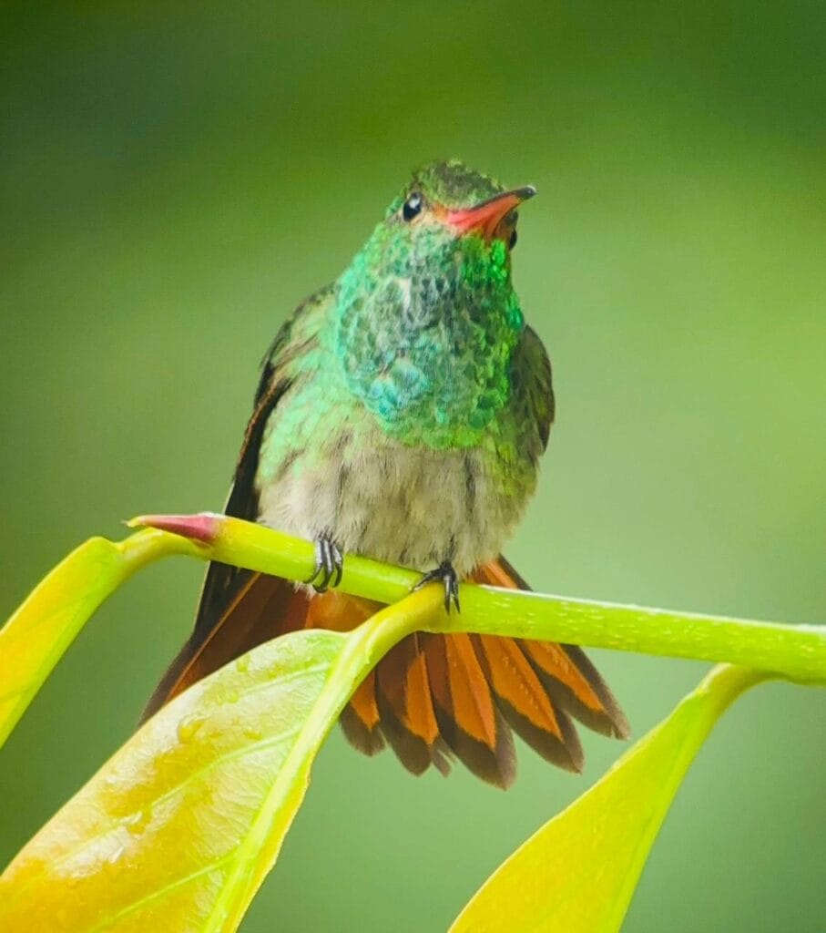
And then there is the bird in the photograph. A rufous-tailed hummingbird perched on a leaf in the middle of a lava flow is not decoration; it is evidence. A hummingbird only lives where something is flowering, and something is only flowering where there is enough soil to hold it. The whole sequence, standing on one stem.
The birds, and the trees that explain them
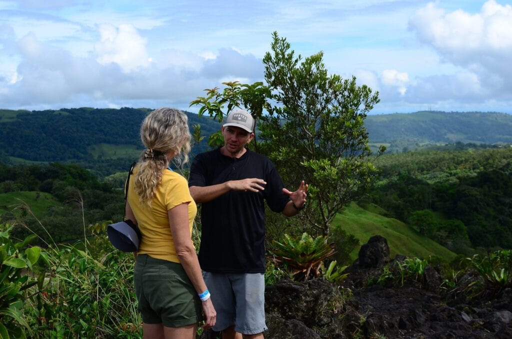
Any brochure can tell you there are toucans. The useful thing is knowing why they are there and where to point the scope.
Toucans follow fruit, and the fruit here comes from two families of tree. Figs — the higuerones — drop crops that pull in every frugivore within earshot. The aguacatillos, wild relatives of the avocado, do the same in their season. Where those trees are in fruit you can find keel-billed toucans, yellow-throated toucans, collared aracaris and Montezuma oropendolas working the same branches, usually arguing. Ask your guide what is in fruit that week. It is the difference between walking past a fig tree and standing under one.
On the ground, in the closed forest sections, great curassows and crested guans are possible, and remarkably relaxed where nobody hunts them.
And in season the corridor carries two birds that serious birders travel for: the three-wattled bellbird, whose call carries absurdly far, and the bare-necked umbrellabird. Both are altitudinal migrants. Both are luck. We will not promise you either — but your guide carries a scope and knows what the aguacatillos are doing.
What else the trail holds
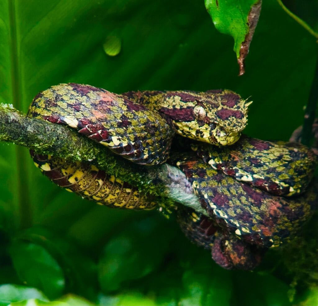
An eyelash viper coiled on a branch at eye level, patterned in moss-green and wine-red. Small, beautiful, venomous and entirely uninterested in you. Your guide will find it, show it from a sensible distance, and leave it exactly where it was.
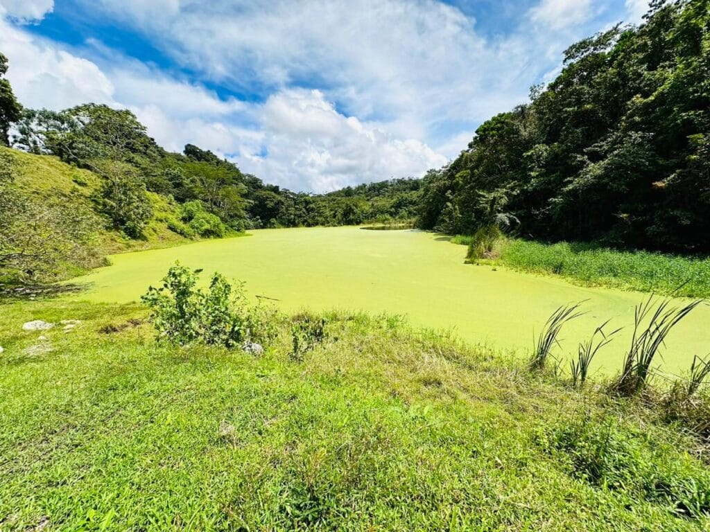
A lagoon in a fold of the hillside, covered wall to wall in a green so uniform it looks painted. It is duckweed — thousands of tiny floating plants, not volcanic minerals, whatever else you may read. That distinction is the sort of thing a guide corrects and a brochure repeats.
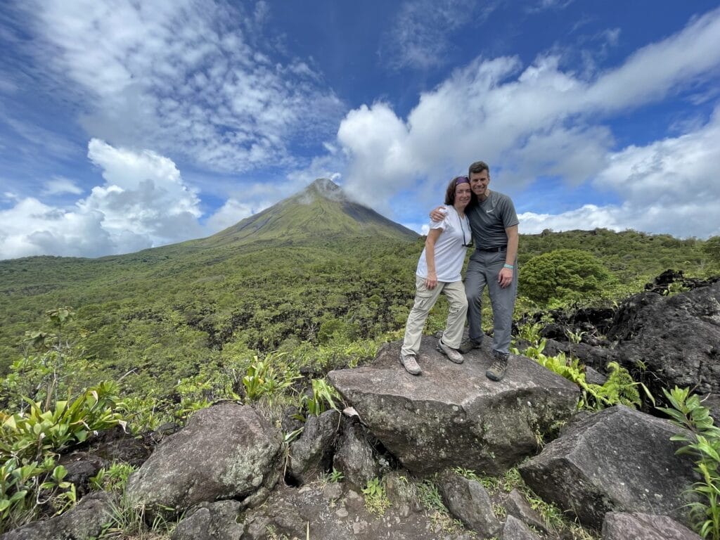
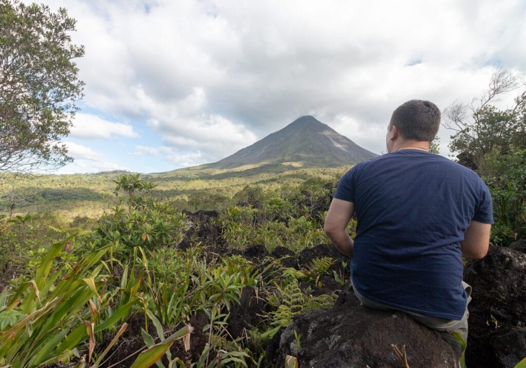
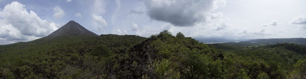
And at the viewpoint, the cone and Lake Arenal in a single frame. Both are worth explaining, because neither is what most visitors assume. The volcano is dormant, not erupting; there has been no glowing lava since 2010. And the lake is not natural — it is a reservoir, enlarged by the national electricity institute for the hydroelectric dam. The old town of Arenal was relocated for that project. That was the dam, not the eruption. The two stories get mixed up constantly and they should not be.
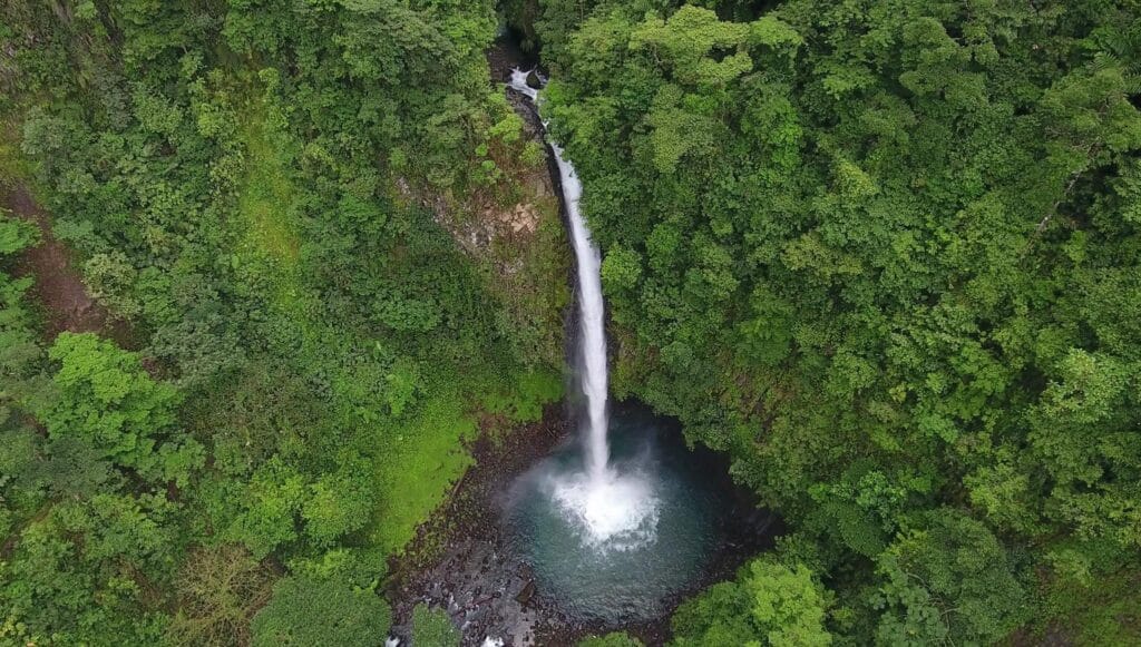
La Fortuna Waterfall
Fire in the morning, water in the afternoon. The classic pairing, and the reason most people end up doing both.
Frequently Asked Questions
Is it safe to visit an active volcano?
Arenal has been dormant since late 2010 and is monitored continuously by OVSICORI and the National Seismological Network with seismic, GPS, gas and satellite instruments. There are no signs of reactivation, and the observatory has stated that any reactivation would be a slow, detectable process. The real hazard on the flank is rockfall, which is why the walk is guided and stays on marked trail.
Is Arenal Volcano still active?
Arenal is dormant. Its eruptive period ended in December 2010 and there has been no lava or glow since. It is still classified as an active volcano and is monitored, but what you see today is a quiet cone.
Will I see lava?
No. Nobody in La Fortuna can show you flowing lava, and anyone implying otherwise is selling you a photograph from before 2010. What you walk on is the hardened 1968 flow.
How difficult is the hike?
Moderate. An hour and a half to two hours over uneven volcanic rock, with built steps on the steeper sections and a gradual climb to the viewpoint. No technical skill needed, but you do need steady footing.
Is there a minimum age?
No. The only requirement is being able to complete the walk. Children who are comfortable on rough ground do this regularly.
What time does it start?
There is no fixed departure. We build it around your day and we recommend going as early as you can: birds are most active at first light, and the summit tends to cloud over as the morning goes on.
What should I bring?
Walking shoes with grip, water, insect repellent, sunscreen and a rain poncho. Binoculars if you have them; your guide carries a spotting scope.
When do we have to cancel by?
Seventy-two hours before your tour begins, counted from the start time and not the day. Cancel before that and your deposit comes back in full.
Do we go inside Arenal Volcano National Park?
No — and it is a deliberate choice, not a shortcut. The 1968 lava flow sits inside the private reserve beside the park, so that is where we take you: the rock under your feet is the rock from the eruption this whole walk is about. The national park is a fine hike in its own right, but its lava trail is younger ground from the 1992 flows, and its lookouts stand further back from the cone.
Book direct with the operator
- We run these tours ourselves. No middleman, no reseller.
- Private to your group — minimum four guests for this experience, no strangers in your van.
- The price you see is the price you pay: taxes and door-to-door pickup included.
Go early, walk slowly
Tell us when you are in the area and how many of you there are, and we will fit the volcano into the rest of your day rather than the other way round.
More than 300 five-star reviews on Tripadvisor. Our guides’ eBird lists are public — you can read them before you write.
Part of our Nature Experiences
Or write to us
By the Guanadreams team, led by Miller Contreras — naturalist guide, born and raised in Guanacaste.